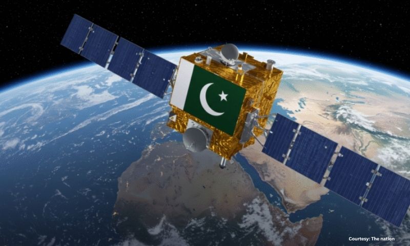
ISLAMABAD – Pakistan has successfully launched its latest remote sensing satellite into orbit, signalling a major step forward in the country’s space technology and environmental monitoring capabilities. The Foreign Ministry confirmed the satellite’s deployment from an international launch facility on Wednesday, describing the event as a leap in scientific and technological progress.
The new satellite is equipped with advanced imaging sensors that will support applications in agriculture, disaster management, climate monitoring, and urban planning. Officials said that data collected will assist government agencies in tracking crop health, water resources, and land use patterns with greater precision and timeliness.
This achievement reflects continued collaboration between Pakistan and partner nations in space science and technical training, enabling domestic engineers and researchers to lead satellite operations and data analysis. The Foreign Ministry emphasised that enhanced remote-sensing capacity will boost national resilience against climate and food security challenges.
Technology experts and government officials highlighted the satellite’s role in long-term infrastructure planning, environmental protection, and strengthening Pakistan’s position in regional space initiatives. They expressed confidence that ongoing investment in space technologies will yield economic, scientific, and strategic dividends.
This story has been reported by PakTribune. All rights reserved.


